What We Do
We offer reliable technologies, experienced professionals and know-hows indispensable in the maintenance of infrastructure.
Challenging to measure things that could not be measured.
We offer reliable technologies, experienced professionals and know-hows indispensable in the maintenance of infrastructure.

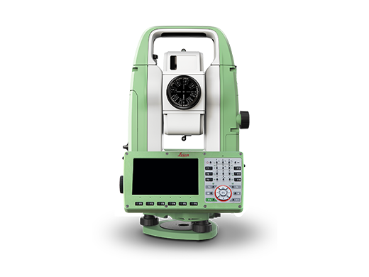
Surveying
Fine service and quality results are provided by our skilled engineers and advanced tools and instruments.
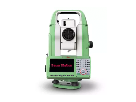
Product Sales
We have exported our products to more than 20 countries since 2008.
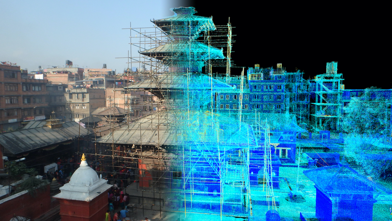
Research & Development
We develop instruments and accessories which are related to surveying to realize safer surveying.
We develop new surveying technologies in the pursue of a safe and secure society.